
Parker Previous Residents Source Map
The best source changes with the era. Douglas County’s Assessor supplies the current parcel key, LandmarkWeb supplies recorded parties and legal descriptions, libraries supply address and name directories, the National Archives supplies released census schedules, and local archives add place and family clues. No single Parker index lists every person who lived at one address. The table below keeps each source’s role separate.
| Source | Years It Covers | Where Held | What It Shows |
|---|---|---|---|
| LandmarkWeb and recorded land files | County announced indexed and uploaded reach back to 1866; older guidance described online images from 1994 to present with pre-1994 microfilm | Douglas County Clerk & Recorder, LandmarkWeb, and research stations | Grantor, grantee, deed type, reception date, legal description, images, and cross-references |
| Douglas Assessor and GIS | Current portal coverage; exact online start not located | Douglas Assessor and Real Property map | Account, SPN, owner, mailing address, situs, subdivision, sales, parcel shape, and boundary context |
| Colorado Directories Index | City directories generally from 1873; householder or address directories from 1924; Parker run not located | Denver Public Library Western History and Genealogy | Resident or business names, address, and often occupation; address-arranged entries where available |
| Federal census | 1790-1950; 1950 is latest released under the 72-year rule | National Archives and 1950 Census portal | Dated household, age, birthplace, street or township, and schedule-specific fields |
| Douglas and Colorado archives | Douglas record groups span ranges such as 1854-1948 | Colorado State Archives, DCL Archives & Local History | Marriage, property, election, tax, school, newspaper, Public Trustee, obituary, cemetery, photo, and oral-history clues |
| Town permits and archives | Modern/current rows; historical start not located | Parker archive center and permit archive | Permit date, applicant, subdivision, address, description, status, valuation, and public notices |
Begin with the Assessor even when the question is historical. The legal description and parcel identity let you leave the modern street string behind. Then select the source interval that matches the question and keep the exact archive or image reference with the name.
Parker Address Records First
An address is a strong start, but it is not a person. Parker mailing labels can cross the Town boundary, and ZIP Codes 80134 and 80138 predate the 1981 incorporation. Confirm the parcel in the Douglas Assessor and GIS, then copy the legal description. This keeps a historical household from being placed in the wrong jurisdiction because a post-office label looks familiar.
The Assessor accepts address, city, ZIP, owner, account, or state parcel number modes. Results can show account, SPN, owner and mailing address, legal location, subdivision, sales, values, and characteristics. Mailing may differ from situs. A company, trust, estate, permit applicant, or owner is a record role, not proof of occupancy.
Preserve the account, SPN, legal description, subdivision, lot or tract, and search date. LandmarkWeb does not index street addresses, so use the party name, legal text, lot or block, Book/Page, reception number, document type, and a one-to-five-year window. The backward trail stays focused on one parcel and its past occupants.
Parker Deed Chain Backward
LandmarkWeb’s name search uses Party Type, a last-name-first-name field, match choices such as Starts with, Contains, or Equals, document type, document category, Town Name, dates, and result limits. Search by a party or legal description, not a street address. Start with a known owner and a narrow date window. The County says staff will not perform open-ended title research, so each backward step has to be recorded by the researcher.
- Open the Assessor result and copy the current owner and complete legal description. Keep the parcel account and SPN with the note.
- Search the current owner as a grantee, then inspect the purchase deed image. Record reception or instrument number, recording date, deed type, grantor, grantee, legal description, Book/Page, consideration when shown, cross-references, and image access.
- Take the seller named in that deed and search the seller’s earlier acquisition. Repeat the grantee-to-grantor move while the legal description and parcel context still match.
- Use subdivision, lot, block, legal text, or Book/Page when a name search is too broad. For an unknown name, begin with last name only and add first name.
- If the online index or image fails, use the Recorder research station, microfilm, book and page route, or a certified-copy request. Mark the gap instead of guessing from a nearby parcel.
- Grantor
- The party transferring an interest in the recorded instrument.
- Grantee
- The party receiving the interest named in that instrument.
- Chain of title
- The linked sequence of recorded transfers used to follow a parcel from one holder to the next.
- Legal description
- The formal parcel wording, such as subdivision, lot, block, tract, or land-section reference, that is more stable than a street label.
- Criss-cross directory
- An address-arranged directory section used later to compare a parcel’s street with nearby household entries.
Douglas County recording staff are at 301 Wilcox Street in Castle Rock. Recording contact is 303-660-7446 or recording@douglas.co.us. Copies cost 25 cents per printed page, with separate oversized, certification, and shipping charges. Verify the current fee before ordering.
Douglas County’s recording-document page explains the search, copy, and recording routes.
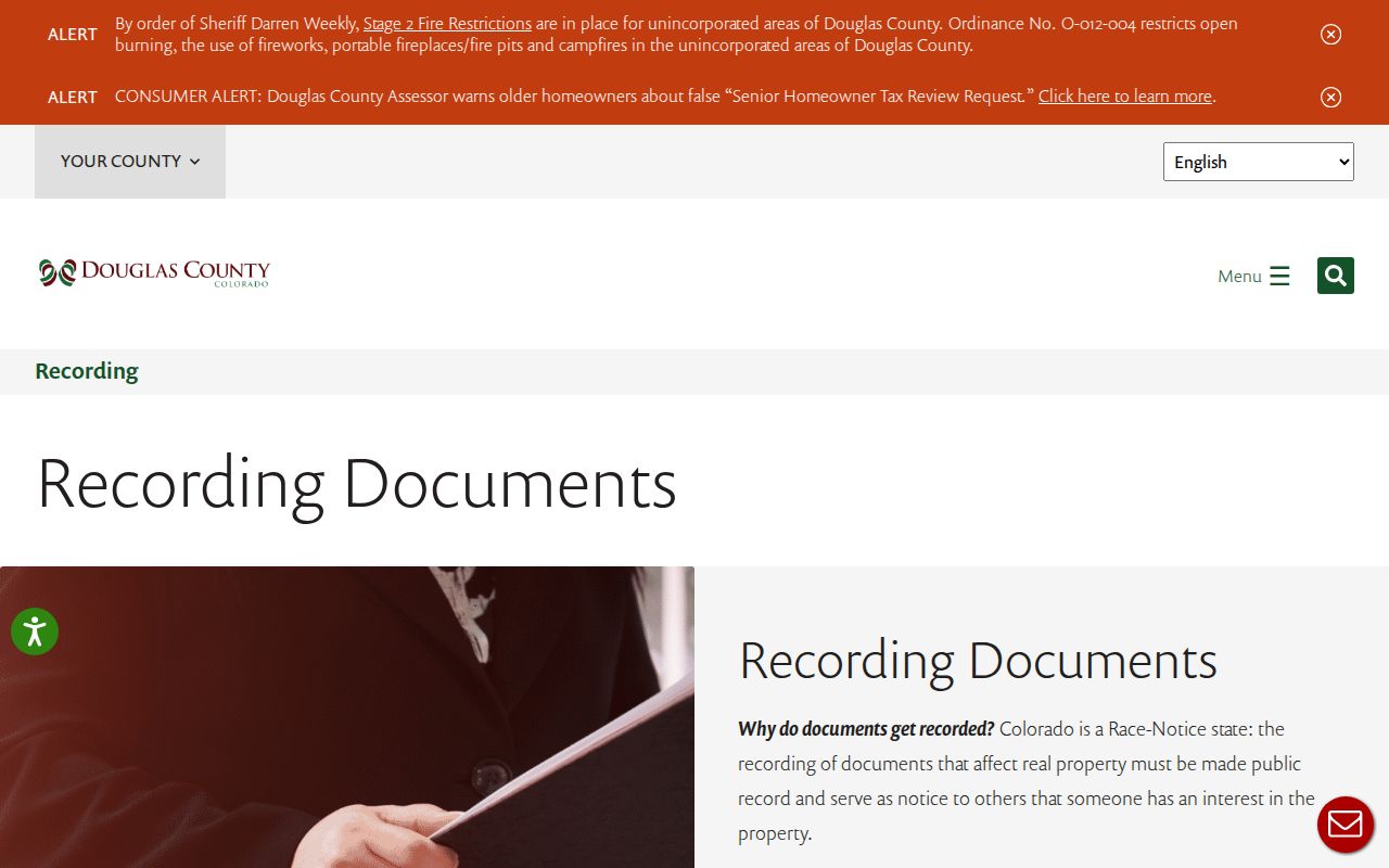
The recording-document image belongs with the deed steps because it points to the custodian that holds the legal chain, not to a name-only people list.
Parker Land Records Since 1866
Douglas County announced on June 16, 2026 that a multiyear project indexed and uploaded land records dating back to 1866. The County reports 3,877,662 unique public records scanned, indexed, and searchable. That changes the practical starting point for previous residents, but it does not erase the need to check the image and legal description. LandmarkWeb still warns that non-indexed historical documents may have incorrect book, page, or reception values, and the interface caveat remains part of a sound result.
The announcement should be read beside older access guidance. Earlier instructions described online images from 1994 forward and pre-1994 microfilm or office-reader work. The new milestone makes older Parker deed research more feasible online, while the Recorder research station remains the fallback when a name, image, or index value does not line up. Keep both the County announcement and the portal warning in the research note.
The County’s land-record announcement documents the new historical reach.
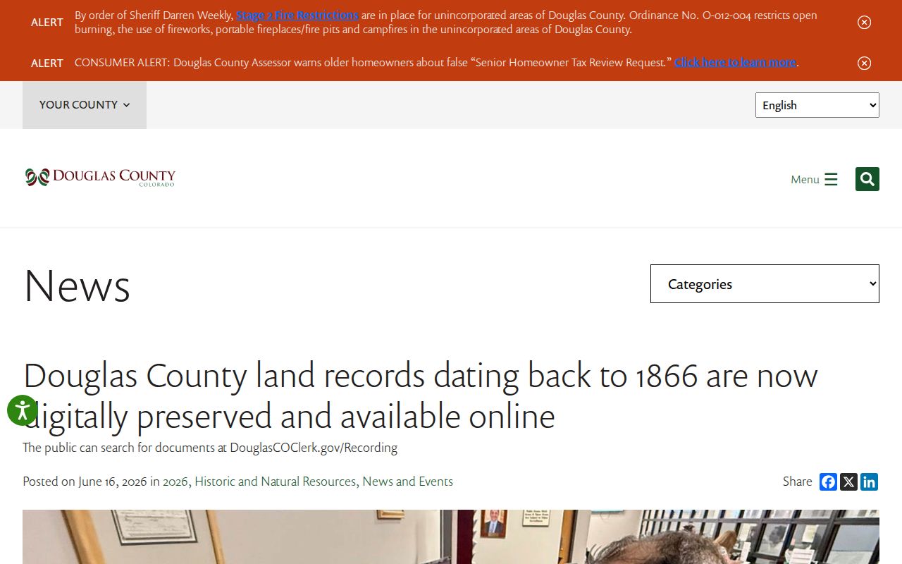
This digitization image marks a timely change in access, not a promise that every old Parker name or image will be complete.
Parker Past Households Through Time
Deeds show recorded transfers. Directories and census schedules are the better tools for a household question. DPL guidance says city directories generally begin in 1873, while householder or address directories generally begin in 1924. The Parker-specific volume, publisher, and local criss-cross run were not located. Use the index as a route, then ask DPL or DCL for the actual page and record the publisher, year, address string, page, and abbreviation key.
- Start with the latest deed or parcel event, then set an era question such as “who appears at this place in the 1920s?”
- Search DPL by name when the volume is name-arranged, or by street and number when a householder volume permits an address search.
- Pair each directory year with the nearest released census year: 1900, 1910, 1920, 1930, 1940, or 1950. Compare names, ages, birthplaces, household members, township, street, and post office.
- Use a newspaper, obituary, cemetery, marriage, school, probate, deed, or local-government file to test a move, death, family link, or place name.
- Build an era ledger with source, year range, address or legal label, person, record role, page or image, and the next source to check.
For directory collection details, the Parker directory book page separates shelves, entry marks, and archive routes from this one-address trail. A gap between deeds does not prove that a parcel was empty. An owner may have used another mailing place, a directory may omit a household, and a rural entry may use a post office rather than a street.
Parker Previous Residents Census Pairing
The National Archives census route covers 1790 through 1950, with 1950 the latest release under the 72-year rule. A page may show name, age, birthplace, street, household, marriage, occupation, or property-value fields, depending on the schedule. The 1890 census is mostly destroyed, so a gap may need a directory, deed, newspaper, cemetery, marriage, or archive record.
Transcribe a census page as a dated household record with its enumeration district, place label, household order, ages, and image reference. Compare it with the directory and deed chain without forcing an exact match. Parker may appear as Pine Grove, a Parker post office, rural Douglas County, or a township before the modern Town boundary.
The National Archives census guide sets the release and research route.
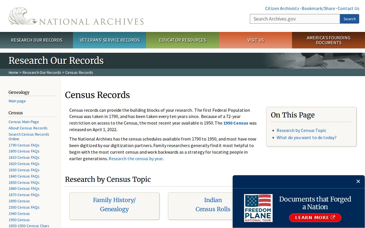
The census image fits the household layer because it shows how a dated family record can fill the space between deed events.
Parker Marriage and Heir Clues
A marriage record can connect names and dates when a prior resident changes surname or appears under a new household. State Archives finding aids list Douglas marriage records from 1864-1925 and licenses or certificates from 1868-1984. The current Clerk & Recorder route is separate, and a current application is confidential. Test a historical relationship against a deed, obituary, cemetery record, or census household.
The online route includes an application and transaction-number or appointment path, but exact dynamic fields were not captured. A marriage record is a name bridge, not an address record by itself.
This marriage-record image belongs beside the family clue workflow because it can explain a name change without claiming that the record proves residence.
Parker Previous Residents Safety Clues
For a property owner tracing past filings, Douglas County offers a separate Recording Activity Notification service. It is free and can send document type, recording date and time, and a document link. The County recommends separate name variations and other names tied to the property. It is a notice aid, not a guarantee that fraud will be prevented.
The form distinguishes Personal and Business names, asks for confirmation fields and email, and offers an unregister or edit route. These details support a lawful property-safety use, not a list of people connected to an address.
Douglas County’s recording-activity page describes the free alert route.
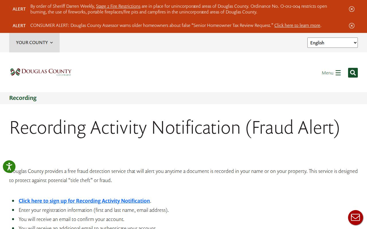
The alert image shows a practical way to monitor a property record while keeping the purpose tied to the filer’s own property and official notice.
Parker Previous Residents Geography
Parker’s historical map is not its current street map. Local history uses Pine Grove Post Office, 20 Mile House, George Long, James Sample Parker, the Denver & New Orleans railroad, and the “Pollywog.” Incorporation came in 1981, while postal Parker labels reach beyond Town limits. A directory or census entry may name a post office or township unlike the modern address.
Use the legal description, subdivision, or landmark as the bridge. The Assessor and GIS show current parcel context, LandmarkWeb shows recorded instruments, and libraries can explain place names. A landmark is a lead, not proof that a prior resident lived there.
Lawful use. Previous-resident research in Parker is appropriate for family history, house history, estate work, and personal records review. Do not use a record trail to stalk, harass, intimidate, or harm any person.
The strongest final note states the parcel, source, date, and relationship shown. It says owner, grantor, grantee, directory entry, census household, applicant, or historical mention rather than using the broad label “resident” for every record.