
Parker ZIP Code Coverage
The official Douglas County ZIP map is dated April 29, 2021 and labels the county's postal geography. It is a map, not a USPS facility directory, and the reviewed sources did not locate exact neighborhood or post-office boundaries for every label. Town material makes one local point clear: 80134 and 80138 are Parker mailing designations that predate the 1981 incorporation and extend beyond the Town in places. The table keeps the map labels visible while marking missing facility detail instead of guessing.
| ZIP | Areas Covered | Post Office | Notes |
|---|---|---|---|
| 80016 | Douglas County map label near the northeast and metro edge | [not located in official sources] | Not identified by Town as a Parker mailing ZIP |
| 80104 | Castle Rock and central Douglas map area | [not located in official sources] | County-seat context, not Parker city |
| 80106 | Eastern and northeastern Douglas map area | [not located in official sources] | Exact locality and facility [not located] |
| 80107 | Eastern Douglas map area | [not located in official sources] | Not identified as a Parker mailing area |
| 80108 | Northern and central Douglas map area | [not located in official sources] | County label; not a Parker city claim |
| 80109 | Castle Rock and central Douglas map area | [not located in official sources] | Douglas courthouse address uses this ZIP |
| 80112 | Northern metro and Englewood-area map label | [not located in official sources] | Douglas map context; not a Parker city ZIP |
| 80116 | Eastern and central Douglas map area | [not located in official sources] | Exact community coverage [not located] |
| 80118 | South and eastern Douglas map area | [not located in official sources] | Not identified as Parker mailing |
| 80120 | Northern Douglas and Littleton-area map label | [not located in official sources] | Postal geography can cross municipal lines |
| 80124 | Northern and central Douglas map area | [not located in official sources] | Use parcel boundary for jurisdiction |
| 80125 | Southwestern Douglas and Chatfield-Roxborough area | [not located in official sources] | Not identified as Parker mailing |
| 80126 | Highlands Ranch and central Douglas map area | [not located in official sources] | Not incorporated Parker |
| 80129 | Highlands Ranch and central Douglas map area | [not located in official sources] | Not identified as Parker mailing |
| 80130 | Highlands Ranch and central Douglas map area | [not located in official sources] | Exact post office [not located] |
| 80131 | Northeast and east Douglas map label | [not located in official sources] | County map label, not a Town-of-Parker claim |
| 80133 | North and east Douglas map label | [not located in official sources] | Exact place and facility [not located] |
| 80134 | Parker postal area | USPS-assigned Parker designation; facility [not located in official sources] | Town identifies it as Parker mailing; portions outside Town and services |
| 80135 | Western and southwestern Douglas map area | [not located in official sources] | Not identified as Parker mailing |
| 80138 | Parker postal area | USPS-assigned Parker designation; facility [not located in official sources] | Town identifies it as Parker mailing; portions outside Town and services |
| 80863 | Eastern and southeastern county map label | [not located in official sources] | Not a Parker mailing ZIP in Town sources |
For a specific deliverable address, use the official Douglas County ZIP map as the county context and the USPS ZIP plus four lookup for address verification. The USPS page is dynamic, and the reviewed source did not expose its exact fields or result screen. A map label is not a substitute for delivery validation.
Parker ZIP Search Workflow
A ZIP-keyed search should narrow a record set without pretending that every portal uses ZIP in the same way. The Assessor can return parcel results. GIS can show spatial layers. A voter self lookup uses ZIP as one required input for one person's record. A state request may offer a ZIP-defined list within a narrow registry scope. USPS verifies delivery. Keep the result type beside the ZIP.
- Verify the address. Run the deliverable street address through USPS ZIP plus four, and save the returned ZIP or note the result gap. Keep the postal city separate from the Town label.
- Filter the parcel roll. Use Douglas Assessor basic Address, City, and Zip Code mode or the advanced Cities and ZipCode fields. Capture account, SPN, situs, legal description, and map date.
- Read the map. Turn on the ZIP layer in Douglas DC Maps, then compare parcels, zoning, subdivision, tax district, and municipal-boundary layers. Use Town GIS for address points, annexations, and Town limits.
- Use name portals narrowly. The Colorado voter tool requires first name, last name, ZIP, birthday, and CAPTCHA for a self match. It is not a ZIP-wide name browser.
- Cross-check the boundary. If the ZIP and Town label disagree, use the Assessor situs and legal description, then ask the Town or County about jurisdiction before assigning a record to Parker.
Once a ZIP has been reduced to a street or parcel set, the Parker street directory handles address-level evidence. A ZIP code directory remains the right place to explain postal scope, not to promise a complete resident roster.
Parker Assessor ZIP Filters
The Assessor is the most useful ZIP-capable property route because it joins address, parcel, owner, legal, value, sales, and map information. Basic search has a mode for Address, City, and Zip Code, one free-text field, Search, and sorting by Best Match, Account, Owner, or Address. Advanced search places ZIP with city and street fields, then lets a searcher narrow by parcel, building, sale, subdivision, tax authority, or land fields.
| Assessor Route | ZIP Search Fields and Output |
|---|---|
| Basic mode | Address, City, and Zip Code; free-text address or name; Search; sort Best Match, Account, Owner, Address |
| Advanced Address | Street Number minimum and maximum; Street Name typeahead; Cities; ZipCode |
| Advanced Account | Account number; State Parcel Number range; Account Type; Appraisal Type; Owner Name; Property Value range; Neighborhood; LEA |
| Advanced Sales | Sale Price; Sale Date; Recording Number; Deed Type; Grantor; Grantee; Vacant or Improved; Multi-Parcel; Qualified Sale |
| Advanced Subdivision | Subdivision Name; Filing Description; Block; Lot; Tract; Recording Number |
| Advanced Land | Township; Section; Range; Land Use; Land Attribute; Acres minimum and maximum |
| Actions | Search Criteria, Results, Map, Property Ownership and Location Report, Search, Download, Clear Form, Use Map for search |
Results can expose account and SPN, owner and mailing address, situs or legal description, subdivision and lot or PLSS, tax district, values, building and land characteristics, sales, and recording data. The Assessor's online coverage start was not located, and result limits or pagination were not confirmed. Record the query date and avoid treating a ZIP-filtered parcel result as a list of all people in the delivery area.
The Douglas County Assessor basic search and advanced search are the correct routes for a ZIP-filtered property lead.
Parker GIS ZIP Layers
GIS answers where a ZIP layer appears, not who lives inside its line. Douglas DC Maps can place a parcel in relation to ZIP, zoning, tax authority, tax district, subdivision, municipal boundary, flood, and street layers. The exact dynamic search widget, pop-up fields, buffer, selection, and export controls were not located in the reviewed source. Use identify as a map lead, then verify the account or SPN in the Assessor.
Town GIS adds address points, lots, subdivisions, annexations, Town boundary, streets, HOAs, land use, floodplains, parks, trails, and public facilities. A ZIP line can cross a municipal boundary, and a parcel near a line may need a direct Town or County check. Save the layer names and map date with a ZIP result so a later map update does not look like a change in the underlying person record.
The Douglas County GIS maps and apps page describes the public map suite used for ZIP and parcel context.
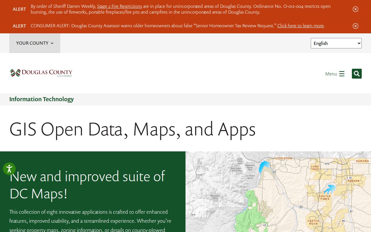
The GIS layer view is useful for sorting a ZIP question into parcels, streets, and boundaries before a name or record request is made.
Note: A ZIP polygon can guide a search while the legal description remains the stronger key for a recorded property document.
Parker Postal Boundary Quirk
Parker's postal and municipal geographies were not created at the same time. Town material says USPS assigned the Parker address designation to 80134 and 80138 before incorporation in 1981. The postal area includes parts of unincorporated Douglas and Elbert counties, and some places using a Parker mailing label are outside Town boundaries and services. This is the central ZIP code directory caveat for Parker.
Check four fields when the label is disputed: postal ZIP, postal city, parcel situs, and incorporated Town boundary. Then compare the Douglas municipal-boundary layer, Town annexation or boundary layer, Assessor legal description, and the custodian that holds the record. A parcel can have a Parker postal label while the relevant court, tax, planning, or election jurisdiction belongs elsewhere.
Local geography. A Parker mailing ZIP answers a delivery question. It does not, by itself, prove that the address is inside the Town, receives Town services, or belongs in a Town record set.
The Town's HOA Resources page repeats the overlap and directs users to verify Town jurisdiction through the Assessor or Town. That contact path is a boundary check, not a public association-member directory.
Parker ZIP Terms
ZIP tools use short labels for different kinds of geography. Define the term before reading a result, especially when a source combines delivery, parcel, map, or route data.
- ZIP code
- A five-digit USPS delivery-area label. It can cover more than one municipality and does not set a Town boundary.
- ZIP plus four
- An added four-digit delivery detail for a specific address or segment. It improves routing but does not identify every person at the address.
- PO-box ZIP
- A ZIP used mainly for post-office boxes rather than a normal street-delivery area. A box address should not be read as a property situs.
- Unique ZIP
- A ZIP assigned to one organization, facility, or narrow delivery point. The reviewed Douglas map did not identify a Parker unique ZIP.
- Carrier route
- A postal delivery route inside a ZIP. It is a delivery concept, not a parcel, voter district, neighborhood roster, or occupancy record.
These terms explain why USPS, GIS, Assessor, and voter records can return different kinds of matches for the same street. Preserve the source label instead of rewriting a carrier route or ZIP plus four value as a resident fact.
Parker Treasurer Tax Accounts
The Douglas Treasurer's Property Account Inquiry is a tax-account route that can add current and prior tax history, receipts, statements, and mailing verification to a parcel review. Its page is dynamic, and exact search fields were not located in the reviewed source. Use the account or SPN from the Assessor when possible. A tax account can confirm that a parcel and tax history are connected; it does not create a resident list or prove that the mailing recipient occupies the situs.
The Treasurer counter is at 100 Third Street in Castle Rock, and the phone is 303-660-7455. For a ZIP question, compare the tax account's parcel and mailing fields with the county map, Town boundary, and Assessor result. If a tax mailing address differs from a parcel situs, retain both fields and ask the custodian which one controls the requested tax record.
The Douglas County Treasurer route is the source for the account inquiry and current or prior tax-history description.
The account route adds financial and mailing context to a ZIP-filtered parcel without changing the limits of the underlying ownership record.
Parker Voter ZIP Limits
The Colorado voter self lookup uses ZIP as one of five required inputs: First, Last, Zip, Birthday, and reCAPTCHA. The ZIP field is five characters and the birthday uses month, day, and year. If someone moved, an old ZIP may be worth trying in the person's own self lookup, but a non-match can mean a protected voter, an under-18 record, an input error, or a changed registration.
Douglas voter-list products can be requested, but they are not a public ZIP browser. Public fields can include registered name, residential address, party and date, optional phone or gender, birth year, and election participation. Confidential voters, preregistered minors, Social Security numbers, identification numbers, electronic signatures, email, and how a person voted are excluded. The standard list updates each business day, and master history updates after certification.
Keep the product name, election date, and report date with a ZIP-based result. A registration address is not occupancy proof, and an election history field does not reveal ballot choice. The Douglas voter-list route is the proper place to confirm the current request product and exclusions.
Parker Population By Date
ZIP geography and population figures should be labeled by source and date. Town About Parker gives approximately 72,147 people inside incorporated boundaries on January 1, 2026. The Town's 2025 Popular Annual Financial Report gives 68,086. Census QuickFacts gives a July 1, 2025 estimate of 65,985, with a 2020 count of 58,512 and a 2010 count of 45,297. These figures are not contradictions to smooth away. They use different dates, boundaries, and publication methods.
The point for a ZIP code directory is practical. A postal-area count, a Town count, and a county or census estimate describe different geographies. Do not divide a population figure across ZIPs unless the source publishes a ZIP-specific method. Use ZIP maps for delivery context, parcel layers for property geography, and the official population source for a dated estimate.
Parker's growth story also explains why older records use Pine Grove, Parker post office, rural Douglas County, or a township while newer records use a Town street and subdivision. Label the era and source before comparing people, parcels, or place names.
Parker ZIP Directory Limits
A ZIP code directory cannot supply a complete, current list of everyone who receives mail in a delivery area. The Assessor gives parcel and owner information, not every occupant. GIS gives polygons and layers, not household names. A voter report is a regulated request product with protected exclusions. USPS verifies an address, not a person. Historical directories and census records are dated and selective. A ZIP-wide search can therefore produce useful leads without establishing a universal resident count.
When a public ZIP or parcel result is wrong, ask the custodian for a correction or access ruling. Colorado CORA, C.R.S. 24-72-201 et seq., carries a public-access presumption with statutory exceptions. State guidance describes a $41.37 hourly research and retrieval maximum after the first hour, $0.25 paper copies, and a presumed three-working-day response that can extend for extenuating circumstances. Parker pages give conflicting local timing language, so verify before a request.
Lawful use. Parker ZIP, property, voter, and map records are for personal, lawful research within each custodian's rules. Do not use a name or address result to stalk, harass, intimidate, or harm anyone.
Keep the postal label, parcel key, municipal status, record date, source role, and access limit together. That small discipline prevents a delivery area from being mistaken for a city line or a person directory.